
SR-9/Zion-Mt. Carmel Highway (ZMCH) Construction
Getting to Zion National Park
Plan Ahead
Zion National Park and nearby outdoor destinations can get crowded. Plan ahead for your Southern Utah trip by getting information on traffic and weather.
Traffic Information
Check out the traffic dashboard, the UDOT Traffic Cameras, and digital signs. Need transportation to get to your hotel or campground? Get more info about public transit in the Zion area.
Road and Parking Status Updates
What are the current road conditions in the Zion National Park area?
Check our live status feed below for real-time updates on SR-9. If no posts appear, there are currently no active alerts or closures and the roads are open with no planned closures.
*For the best viewing experience when there are active road status updates, follow our stories on Instagram.
Traffic Cameras
Note: Cameras may temporarily go offline periodically due to technical maintenance.
Viewing on a computer and want to see larger images? Right click on the camera image and select “Open Image in New Tab”. Viewing on a mobile device? Zoom in on your touchscreen.
Zion Park Blvd/SR-9 @ 2400 S
Zion Park Blvd/SR-9 @ Quail Ridge Rd
Zion Park Blvd/SR-9 @ Lion Blvd
Zion Park Blvd/SR-9 @ 200 S
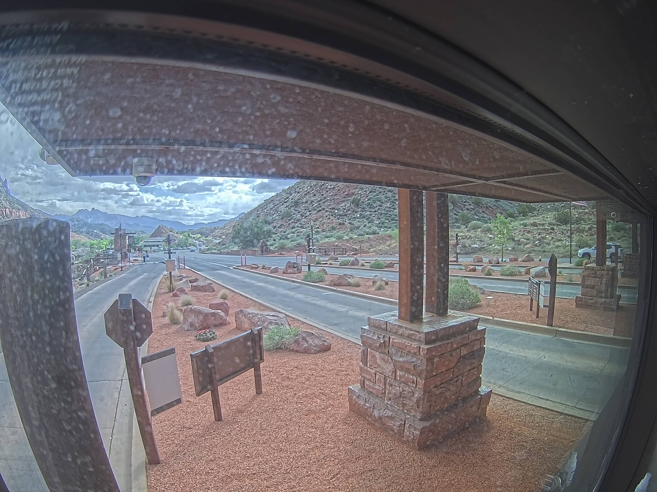
Zion National Park South Entrance
State St/SR-9 @ 500 N/SR-9, La Verkin
State St/SR-9 @ Main St/SR-59, Hurricane
State St/SR-9 @ Southern Pkwy/SR-7, Hurricane
State St/SR-9 @ 3700 W/Sand Hollow Rd, Hurricane
Southern Pkwy/SR-7 @ Milepost 21, Hurricane
Southern Pkwy/SR-7 @ Sand Hollow Reservoir, Hurricane
Southern Pkwy/SR-7 @ Sand Hollow Rd, Hurricane
Southern Pkwy/SR-7 EB @ Airport Pkwy, St. George
Center St/US-89 @ Main St, Kanab
US-89 @ Milepost 76, Kane County
US-89 @ Long Valley Jct/SR-14, Kane County
US-89 @ SR-12, Garfield County
I-15 @ State St/SR-9, Washington
I-15 @ Anderson Jct/SR-17, Toquerville
I-15 @ Milepost 40, Washington County
UDOT Road Signs
ZION PARK 47min
SR-9 EB @ Milepost 1, Hurricane
TIME TO CEDAR CITY 36min
TIME TO ZION PARK 50min
I-15 NB @ Milepost 14, Washington
TIME TO ZION PARK 38min
TIME TO LAS VEGAS 1hr 48min
I-15 SB @ Milepost 29, Toquerville
TIME TO ST GEORGE 24min LAS VEGAS 1hr 56min